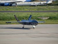
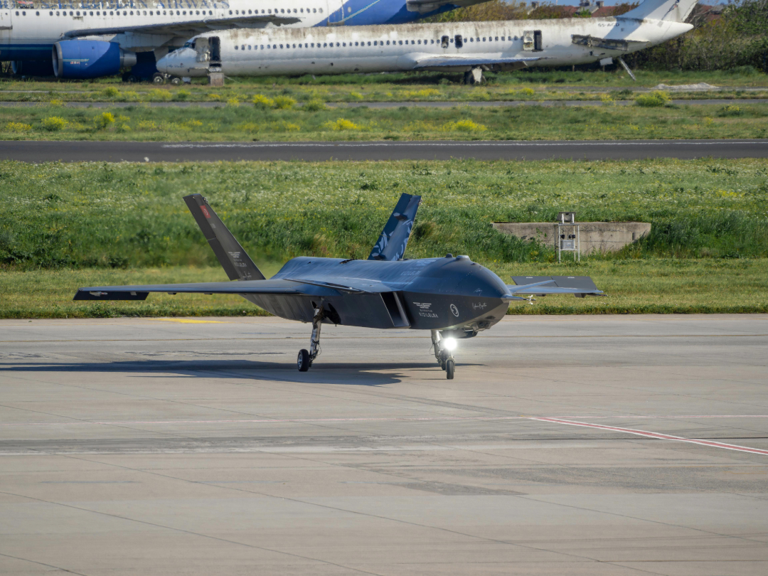
The performance envelope of uncrewed systems is rapidly growing: longer range, greater autonomy, and more complex missions in more demanding environments. But as these requirements grow, so does a fundamental engineering challenge. How do you ensure reliable navigation in environments where you can't see?
The answer, increasingly, is that you do not rely on a single sensor. In fact, you fuse several, with each one complementing the other's strengths and weaknesses.
This practice of leveraging multiple sensors simultaneously is known as sensor fusion, and it is reshaping how defense and aerospace engineers approach autonomous navigation. Specifically, new advancements in Millimeter wave (mmWave) radar have enabled the technology to integrate seamlessly into existing sensing architectures, providing an additional input to enhance situational awareness.
The technology draws on advances across commercial, civil space, and defense domains, and is rapidly maturing. For program managers evaluating the next generation of uncrewed systems, understanding what fusion enables is becoming essential.
Every Sensor Tells a Different Story
Cameras are intuitive. They produce rich visual data, such as texture, color, and fine spatial detail. They are relatively cheap and lightweight, making them an excellent choice for navigation in good conditions. But they are fundamentally dependent on light and line of sight. Obscure the scene with dust, smoke, fog, or darkness, and you go blind.
Lidar fills some of these gaps. By bouncing laser pulses off surfaces and measuring the return times, it can build 3D maps of the environment around it. It performs well in low-light environments, but shares one key vulnerability with cameras: particulate matter. Dust, smoke, and other particles can scatter the laser, compromising range and accuracy at the moments where they may matter most.

Only Way Out: Private Aviation in a Region at War
mmWave radar operates on an entirely different basis. Radio waves in the mmWave frequency can pass through particles suspended in the air, allowing for accurate range and velocity measurements.
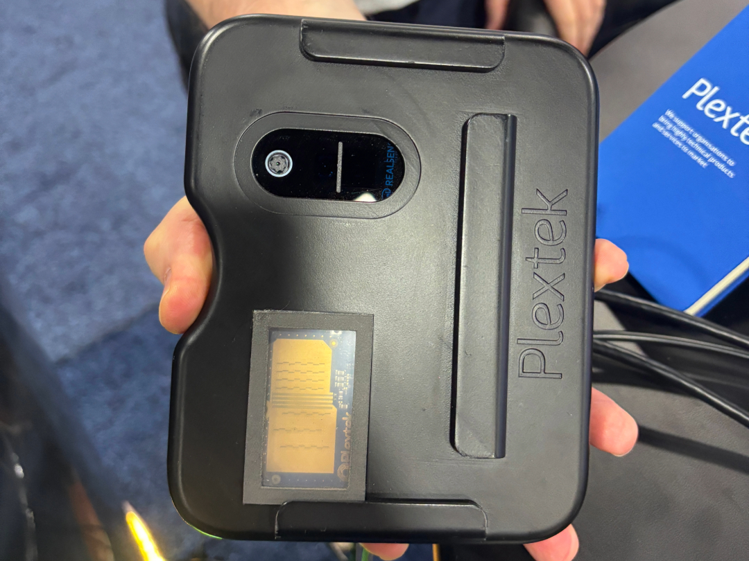
Plextek, a Cambridge-based engineering firm specializing in next-generation radar and electronics systems, joined AeroXplorer to discuss the importance of mmWave radar in aerospace applications.
Mick Withers, SVP of Business Development, had this to say: “A sensor like a radar can see through that dust. And you can get a more precise altitude, but more importantly, approach velocity. Because that's the thing that will really kill your [measurements].”
Each sensor covers the other's blind spots. This is the fundamental logic of sensor fusion, where different sensors complement, rather than compete. As Richard Jacklin, Commercial Business Development Lead at Plextek, puts it, "mmWave is a good complementary technology, but it's not going to answer everything. There's always going to be a blend of sensors that you need."
The Final 100m
In both space operations and UAV missions, there is a phase of operations that concentrates risk disproportionately: the final 100m. It is the close-in proximity phase, whether it be for docking, landing, or final approach. In the final 100m, the consequences of a sensor failure are most severe, and the margin for error is the smallest.
Jacklin commented on this bluntly, "If you're spending many tens of millions on a mission, the most important bit is the last hundred meters. That's the bit where you crash. And that's the bit where you lose information."
The Cockpit’s Next Revolution: When the Co-Pilot Is a Computer
As Jacklin shared when showcasing Plextek's new technology, the final 100m in a lunar situation refers to the final seconds before touchdown. This phase is complicated by rocket plumes obscuring downward-facing cameras and regolith dust as the lander descends. Optical instruments are blinded at this critical moment, where precise altitude and velocity data are most needed. Radar, which cuts through this dust cloud without difficulty, becomes indispensable, as it's the sensor that can keep operating when the others cannot.
The same can be said for defense applications. Consider a rotary-wing drone on approach to a landing zone in a dusty environment, or a fixed-wing ISR platform conducting a low-altitude terrain pass in poor weather.
The Doppler velocity measurement that radar provides is particularly valuable in this phase. Determining approach velocity by comparing consecutive camera frames is possible, but requires good visibility, sufficient contrast, and edge processing overhead. As Jacklin explains, "The thing about using radar and radio waves is you can use the Doppler Effect. Doppler will give you the approach velocity. That's a much more accurate way of determining approach velocity than comparing picture frames, which would be much harder."
The Doppler Effect refers to the change in frequency of a radar wave relative to an observer. This can be most commonly related to an ambulance or a fire truck. As they move closer or farther from an observer, their pitch seems to change slightly, becoming higher or lower. By measuring this frequency shift, an accurate velocity measurement can be determined.
Fusion in Practice
But understanding sensor fusion is one thing. Applying it – making sensors work together on a SWaP-constrained platform – is another.
Modern sensor fusion architectures combine the outputs of multiple sensors into a unified "picture," weighing each input according to current conditions and associated confidence levels. If visibility is good, a camera or lidar would likely carry more weight. Conversely, as conditions degrade, more emphasis will be placed on radar measurements. This results in a navigation solution that is more robust than standalone measurements.
The Shape of Disaster: The Plane That Kept Falling Apart Mid-Air
Radar systems designed for this kind of application are also adaptable across operational phases. As Jacklin describes it, "With mmWave radars, you can run them in different modes. You can have a long-range modulation mode and a short-range modulation mode. So it depends on where you are in the operations, which mode you might use."
But it's easy to underestimate where the processing happens. In many defense applications, real-time autonomous operation is the only viable option. Relaying information back to home base could delay input signals, potentially even making a mission unsafe. Jacklin emphasized this during our conversation: "The objective is really for autonomous use. What you don't want is the latency of detecting something, transmitting it back, a decision being made, and then transmitting it back up. The latency of that could be too long for operations where you're bringing two things together." Jacklin is referring to a docking situation, where the decision loop must close onboard at a speed faster than any human operator could respond.
No Longer an Option
As uncrewed systems are asked to operate in more complex environments, sensor fusion becomes increasingly important in ensuring these systems operate safely and accurately.
No single sensor is sufficient. Cameras can go blind, and Lidar can scatter. Every sensor has its limits. But a platform that intelligently fuses all three will be able to work even when the environment turns hostile.
Comments (0)
Add Your Comment
Recommended Articles
-
 How AI Quietly Became the Backbone of Today’s Aviation Industry
-
 The Shape of Disaster: The Plane That Kept Falling Apart Mid-Air
-
 Only Way Out: Private Aviation in a Region at War
-
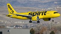 Analysis: How Spirit Airlines Changed Airline Pricing, then Paid the Price
-
 The Cockpit’s Next Revolution: When the Co-Pilot Is a Computer